New
CODE:

Lepape vous propose une liste
Beyond the
essential equipment
a number of hiking applications are available. Whether you’re looking to find your way around, identify peaks, plants, birds or even mushrooms, some applications are packed with functions to help you better understand the natural environment.
Whether you’re heading out in good weather conditions or need to know what to do in the event of a physical problem, there are two reliable applications you should have on your smartphone before setting off on a hike.
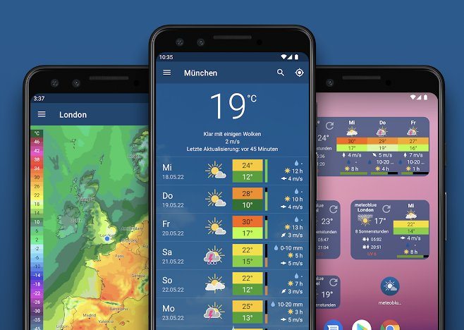
The Météoblue application has a direct interest in hiking: setting off at the right time. This application provides clear and precise information on the weather for the next few hours and days. Depending on where you’re planning to hike (you can enter the name of the commune), Météoblue provides information on temperatures, precipitation, cloud cover and wind. Weather is a key factor when hiking, so this application is highly recommended for hiking in good conditions. Note that previously loaded information can be consulted offline. However, weather information needs updating, so it’s best to be connected.
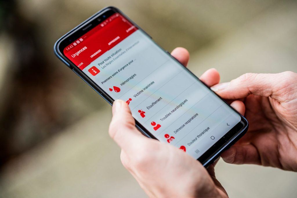
When hiking and mountaineering, our bodies are more vulnerable to sun, cold and impact. Knowing how to react to a small physical incident is crucial. ThePremier Secours app, developed by the Red Cross, helps identify common symptoms and provides practical advice. A useful application if you’re
hiking at altitude
where certain symptoms may appear. This application is obviously no substitute for accredited first-aid training, but it can be a useful tool for learning the right first-aid reflexes.
A number of applications enable you to get to know the natural world around you while hiking. Without overdoing it, of course, so as not to spoil the pleasure of contemplation!
Hiking is good for listening. Depending on the season and the location, bird song is often present when you’re hiking. The application can identify almost 1,000 bird species by recognizing their songs.
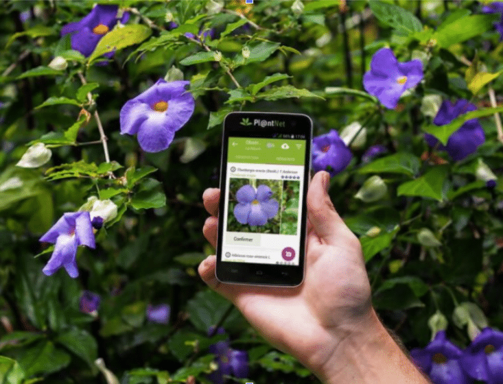
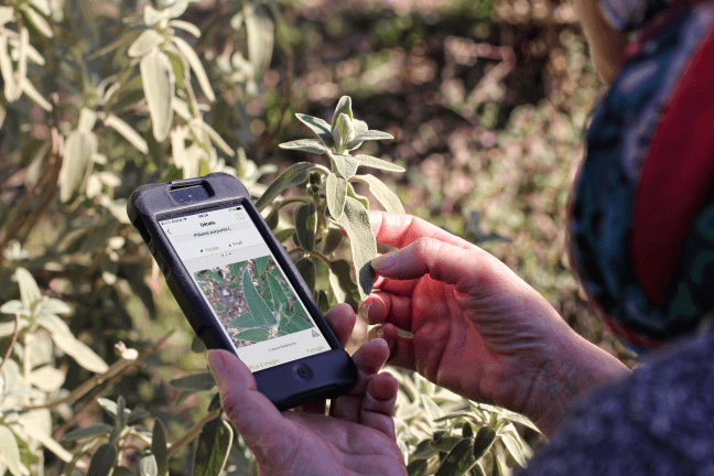
Hiking is also an opportunity to contemplate the natural world around you. This application lets you take a simple photo to find out the names and characteristics of the flowers and plants on your path. Moreover, by helping us to understand the evolution of certain plants, we can better preserve them. The application also tracks plant biodiversity on a global scale. A gesture for nature!
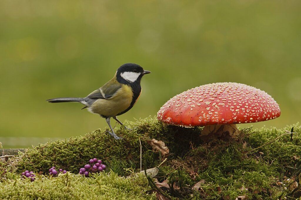
Like PlantNet, the Champignouf application also uses photography to recognize mushrooms. Be careful, however, not to rely solely on these results to determine whether or not a mushroom is toxic, as the slightest error can lead to serious poisoning.
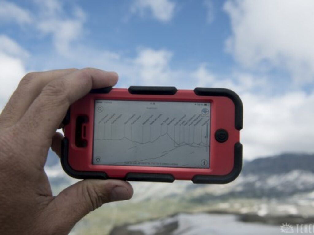
Peakfinder is a virtual orientation table based on Google Maps, with an AI capable of recognizing 350,000 peaks worldwide. Simply point your smartphone or tablet at the relief to instantly identify the mountains around you.
Our advice pages to read








Or
Or
Your data is processed and collected by Lepape, which acts as the data controller, in accordance with the French Data Protection Act and the RGPD. For more information on the processing of your personal data, you can consult our Privacy policy.