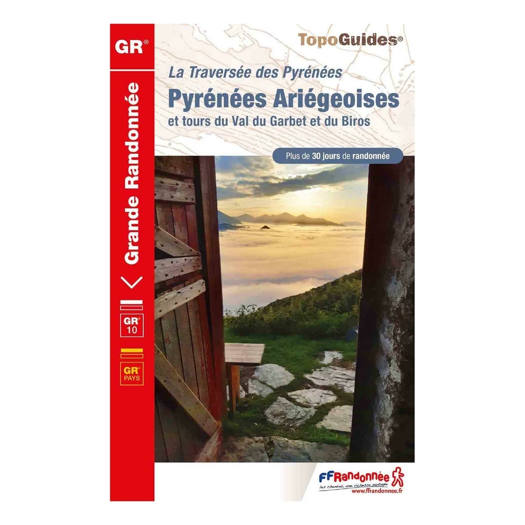
Ariège Pyrenees hiking topoguide - GR®10 - French Hiking Federation The Ariège Pyrenees - GR®10 topoguide is designed to help you plan, organize and find your way around your hike through the Ariège Pyrenees. On the program, 25 days of hiking on the central part of the GR®10, from Luchonnais to Lanoux, passing through the Forcat refuge at an altitude of 2445 metres. Published by the French Hiking Federation, this topoguide is ideal to help you organize your route.


 Belgique
Français
Belgique
Français
 United Kingdom
English
United Kingdom
English
 Deutschland
Deutsch
Deutschland
Deutsch
 España
Español
España
Español
 Italia
no
Italia
Italiano
 Portugal
Português
Portugal
Português
 Nederlands
Nederlands
Nederlands
 Schweiz
Deutsch
Schweiz
Deutsch
 Luxembourg
Français
Luxembourg
Français

The information below is required for social login
Sign In
Or
Create New Account
Or
Your data is processed and collected by Lepape, which acts as the data controller, in accordance with the French Data Protection Act and the RGPD. For more information on the processing of your personal data, you can consult our Privacy policy.