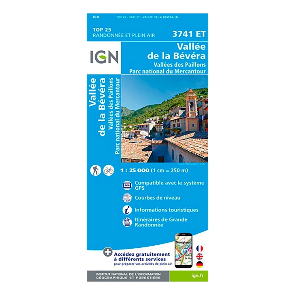
Scale: 1:25,000 (1cm = 250 meters on the map) Compatible with GPS system Contour line Tourist information Long-distance hiking routes (GR) Date of publication: May 2018 Size: 96cm x 132cm
Municipalities covered : Berre-les-Alpes, Roquebillière, La Bollène-Vésubie, Castellar, Duranus, Moulinet, Levens, Bendejun, Castillon, Breil-sur-Roya, Sospel, Utelle, Lantosque, Lucéram, La Roquette-sur-Var, Touët -de-l'Escarène, L'Escarèn, Berre-les-Alpes, Roquebillière, La Bollène-Vésubie, Castellar, Duranus, Moulinet, Levens, Bendejun, Castillon, Breil-sur-Roya, Sospel, Utelle, Lantosque, Lucéram, La Roquette-sur-Var, Touët-de-l'Escarène, L'Escarène
Places to discover : Préalpes d'Azur,Forêt de Turini, Bois Noir, Mont Férion, Col St-Roch, Col de la Porte, Mont Tournairet, l'Authion, Mont Escobé, Mont Razet, Cîme du Plan Ribert, C. de Brouis, Mont Grazian, Col de Turini, Col de Braus, Pointe des Trois Communes, C. de Castillon, Monte Colombin, Gorges de Saorge, Château de Crans, Abbey of Bonmont, Château, Cabane du Carroz, Fir trees of Borsattaz, Saut du Day, Cave of Réclère, Hut les Pralets, Hut Rochefort, Signal de Roche d'Or, Hut Three Chalets, Chalet de la Dent de Vaution


 Belgique
Français
Belgique
Français
 United Kingdom
English
United Kingdom
English
 Deutschland
Deutsch
Deutschland
Deutsch
 España
Español
España
Español
 Italia
no
Italia
Italiano
 Portugal
Português
Portugal
Português
 Nederlands
Nederlands
Nederlands
 Schweiz
Deutsch
Schweiz
Deutsch
 Luxembourg
Français
Luxembourg
Français

The information below is required for social login
Sign In
Or
Create New Account
Or
Your data is processed and collected by Lepape, which acts as the data controller, in accordance with the French Data Protection Act and the RGPD. For more information on the processing of your personal data, you can consult our Privacy policy.