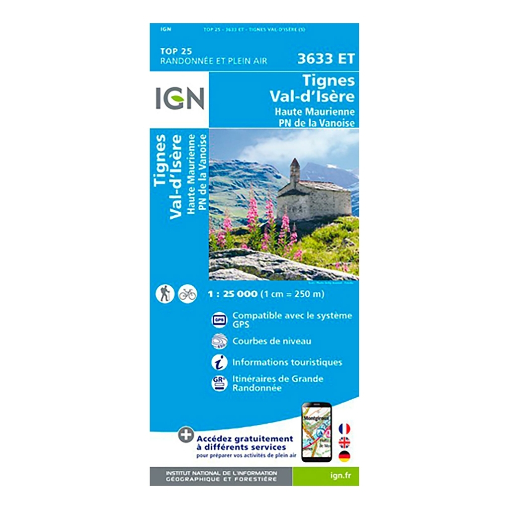
IGN Top 25 Tignes / Val d'Isère / Haute Maurienne / Vanoise National Park hiking map - Scale 1:25,000 The IGN Top 25 Tignes / Val d'Isère / Haute Maurienne / Vanoise National Park hiking map, ideal for hiking, will allow you to find your way easily and precisely during your outings in the region. Very precise, it highlights all the existing details on the ground: communication routes to the smallest path (marked or not), constructions, wood, isolated tree, river, source and tourist information. The representation of the relief by level curves allows you to have an idea of the difference in height to come, in order to allow you to draw routes adapted to your desires.
Scale: 1:25,000 (1cm = 250 meters on the map) Compatible with GPS system Contour line Tourist information Long-distance hiking routes (GR) Date of publication: June 2018 Size: 96cm x 132cm
Municipalities covered : Val-d'Isère, Bessans
Places to discover : Vallonnet Glacier, Sources de l'Arc Glacier, Baounet Glacier, Arnès Glacier, Grande Motte Glacier, Vieux Glacier, Communal Forest of Bessans, Ouillette, Pic Regaud, Petite Ciamarella , Pointe Mezzenile, Ouille d'Arbéron, Pointe des Lessières, Pointe du Montet, Western Levanna, Central Levanna, Grande Aiguille Rousse, Punta Albaron di Sea, C. de Fresse, Bessanese, Aiguille Percé
| Product Name |
Cap Diffusion Top 25 - Tignes / Val d Isère / Haute Maurienne / Parc National de l Blue |
| Original Product Name |
Top 25 - Tignes / Val d Isère / Haute Maurienne / Parc National de l |
| SKU |
3633ET |
| Gender |
Mixed |
| Bar code |
9782758543312 |
| Brand |
Cap Diffusion |
| Color |
Blue |


 Belgique
Français
Belgique
Français
 United Kingdom
English
United Kingdom
English
 Deutschland
Deutsch
Deutschland
Deutsch
 España
Español
España
Español
 Italia
no
Italia
Italiano
 Portugal
Português
Portugal
Português
 Nederlands
Nederlands
Nederlands
 Schweiz
Deutsch
Schweiz
Deutsch
 Luxembourg
Français
Luxembourg
Français

The information below is required for social login
Sign In
Or
Create New Account
Or
Your data is processed and collected by Lepape, which acts as the data controller, in accordance with the French Data Protection Act and the RGPD. For more information on the processing of your personal data, you can consult our Privacy policy.