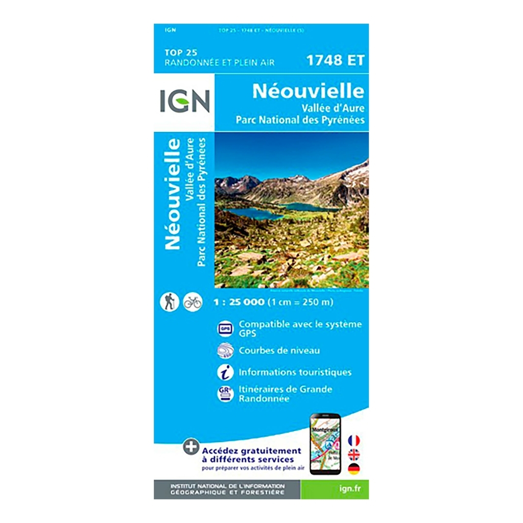
Scale: 1:25,000 (1cm = 250 meters on the map) Compatible with GPS system Contour line Tourist information Long-distance hiking routes (GR) Date of publication: September 2017 Size: 96cm x 132cm
Municipalities covered : Néouvielle, Trameza, Pailhac, Bazus-Aure, Bourisp, Cadéac, Guchan, Gouaux, Arreau, Aspin-Aure, Barrancoueu, Ens, Guchen, Camparan, Aulon, Vielle-Aure, Azet, Vignec, Estensan, Sailhan, Cadeilhan -Trachère, Grailhen, Barèges, Ancizan, Grézian
Places to discover : Ac d'Orédon, Lac de Cap de Long, Reserve Nacional de Los Circos, Pic d'Aret, Pics d'Estaragne, Taoulet, Pic de Néouvielle, Pic de la Munia, Pic d'Arriouère, Pic de Lustou, Sierra Pelada, Sierra de Liena, Pic Long, the Arbizon, Col du Tourmalet, Cirque de Troumouse, Rioumaj Valley, Tower, Hospice de Rioumajou, Chalet-Refuge d'Orédon, Agos, Néouvielle Nature Reserve, Chapel of the Templars, Campana de Cloutou refuge, Zoo, Barroude refuge, Bastan refuge, Garet waterfall, Notre-Dame


 Belgique
Français
Belgique
Français
 United Kingdom
English
United Kingdom
English
 Deutschland
Deutsch
Deutschland
Deutsch
 España
Español
España
Español
 Italia
no
Italia
Italiano
 Portugal
Português
Portugal
Português
 Nederlands
Nederlands
Nederlands
 Schweiz
Deutsch
Schweiz
Deutsch
 Luxembourg
Français
Luxembourg
Français

The information below is required for social login
Sign In
Or
Create New Account
Or
Your data is processed and collected by Lepape, which acts as the data controller, in accordance with the French Data Protection Act and the RGPD. For more information on the processing of your personal data, you can consult our Privacy policy.