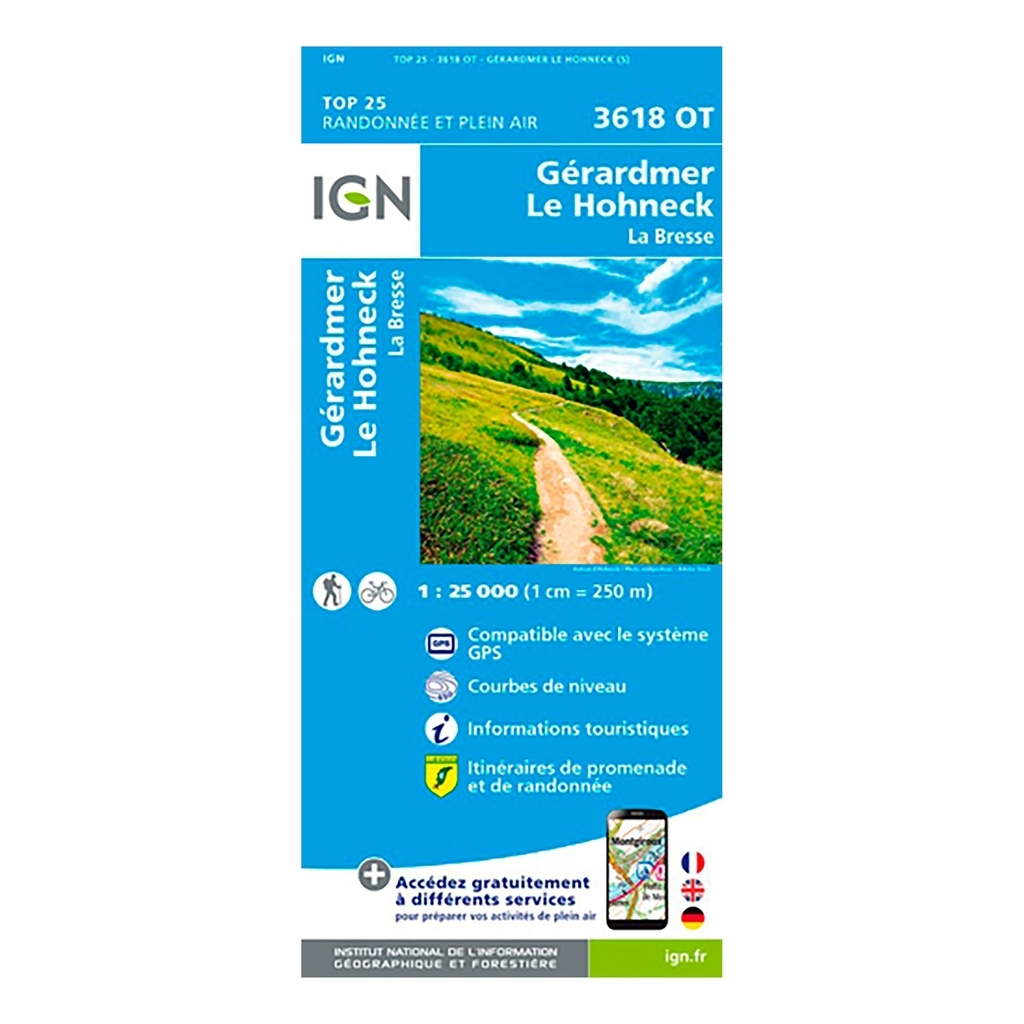
IGN Top 25 Gérardmer / Le Hohneck / La Bresse hiking map - Scale 1:25,000 The IGN Top 25 Gérardmer / Le Hohneck / La Bresse hiking map, ideal for hiking, will allow you to find your way easily and precisely during your outings in the region. Very precise, it highlights all the existing details on the ground: communication routes to the smallest path (marked or not), constructions, wood, isolated tree, river, source and tourist information. The representation of the relief by level curves allows you to have an idea of the difference in height to come, in order to allow you to draw routes adapted to your desires.
Scale: 1:25,000 (1cm = 250 meters on the map) Compatible with GPS system Contour line Tourist information Long-distance hiking routes (GR) Date of issue: March 2020 Size: 96cm x 132cm
Municipalities covered : Beauménil, La Chapelle-devant-Bruyères, Granges-Aumontzey, Fiménil, Liézey, Prey, Tendon, Cornimont, La Bresse, Rochesson, Cleurie, Gerbamont, Basse-sur-le-Rupt, Sapois, Herpelmont, Jussarupt, La Forge, Vagney, The Syndicate, Le Tholy, Laveline-du-Houx
Places to discover : Ballons des Vosges Regional Natural Park, Gérardmer Lake, Longemer Lake, Green Lake, L. des Corbeaux, Rothenkopf, le Hohneck, Haut du Roc, Roche des Ducs, Grand Artimont, Spiémont, the Tête des Pigs, the Altenberg, the Schweisel, Defile de Straiture, the Trou de l'Enfer, Roche du Diable, Col du Bonhomme, Roch. Obs. Belmont, Gazon du Faing, Petit Hohne
| Product Name |
Cap Diffusion Top 25 - Gérardmer/Le Hohneck/La Bresse Blue |
| Original Product Name |
Top 25 - Gérardmer/Le Hohneck/La Bresse |
| SKU |
3618OT |
| Gender |
Mixed |
| Bar code |
9782758550341 |
| Brand |
Cap Diffusion |
| Color |
Blue |


 Belgique
Français
Belgique
Français
 United Kingdom
English
United Kingdom
English
 Deutschland
Deutsch
Deutschland
Deutsch
 España
Español
España
Español
 Italia
no
Italia
Italiano
 Portugal
Português
Portugal
Português
 Nederlands
Nederlands
Nederlands
 Schweiz
Deutsch
Schweiz
Deutsch
 Luxembourg
Français
Luxembourg
Français

The information below is required for social login
Sign In
Or
Create New Account
Or
Your data is processed and collected by Lepape, which acts as the data controller, in accordance with the French Data Protection Act and the RGPD. For more information on the processing of your personal data, you can consult our Privacy policy.