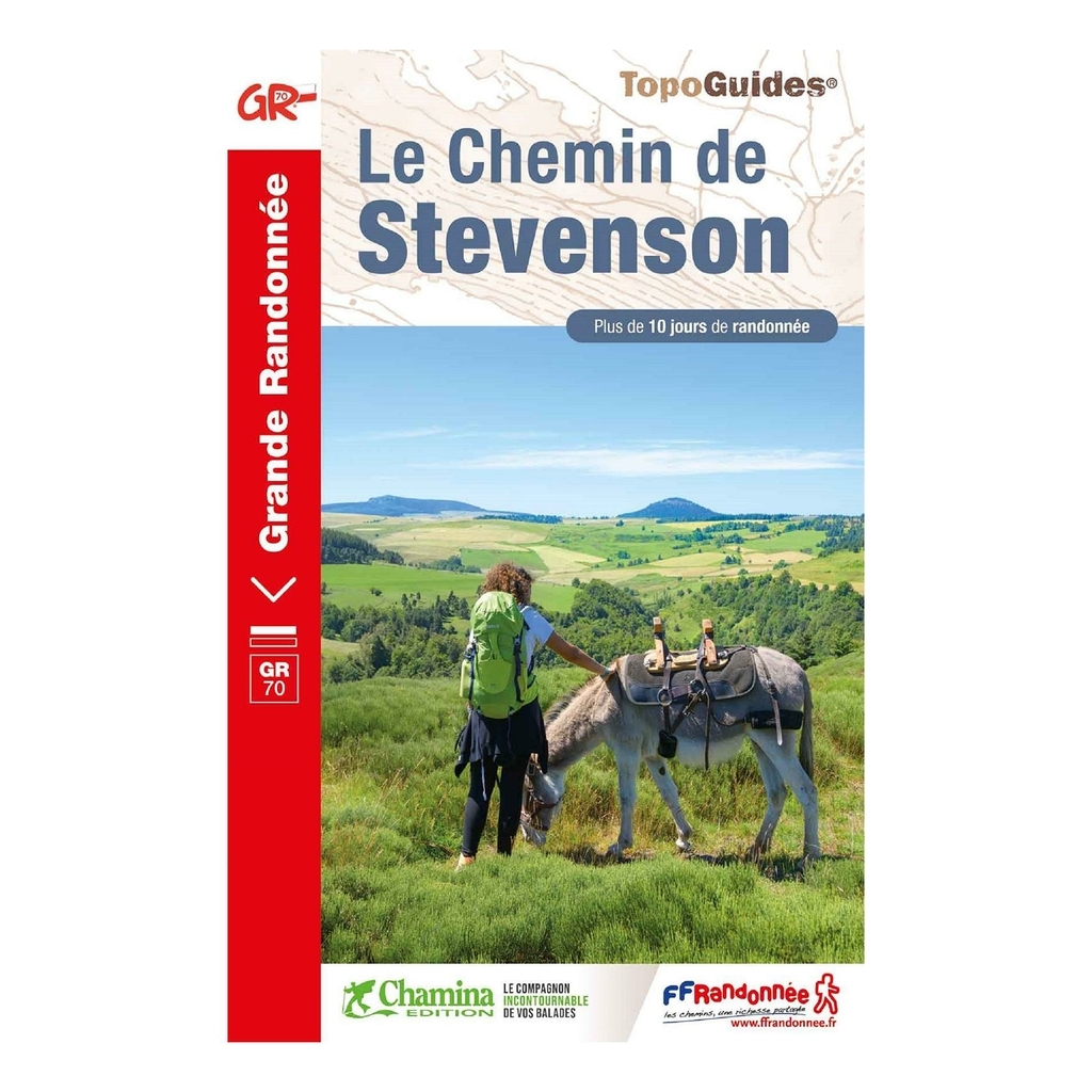
Le Chemin de Stevenson hiking topoguide - French Hiking Federation The Le Chemin de Stevenson topoguide is designed to help you plan, organize and find your way around during your hike, from Le Puy-en-Velay to Alès. The Chemin de Stevenson, 252 km long and achievable over 12 days, retraces Stevenson's route, allowing you to discover magnificent landscapes such as the vast volcanic plateaus of Velay, the harsh highlands of Gévaudan, the bare hilltops of Mont Lozère, or the ridges and valleys of the Cévenne des Camisards. Published by the French Hiking Federation, this topoguide is ideal to help you organize your route.


 France
Français
France
Français
 Belgique
Français
Belgique
Français
 Deutschland
Deutsch
Deutschland
Deutsch
 España
Español
España
Español
 Italia
no
Italia
Italiano
 Portugal
Português
Portugal
Português
 Nederlands
Nederlands
Nederlands
 Schweiz
Deutsch
Schweiz
Deutsch
 Luxembourg
Français
Luxembourg
Français

The information below is required for social login
Sign In
Or
Create New Account
Or
Your data is processed and collected by Lepape, which acts as the data controller, in accordance with the French Data Protection Act and the RGPD. For more information on the processing of your personal data, you can consult our Privacy policy.