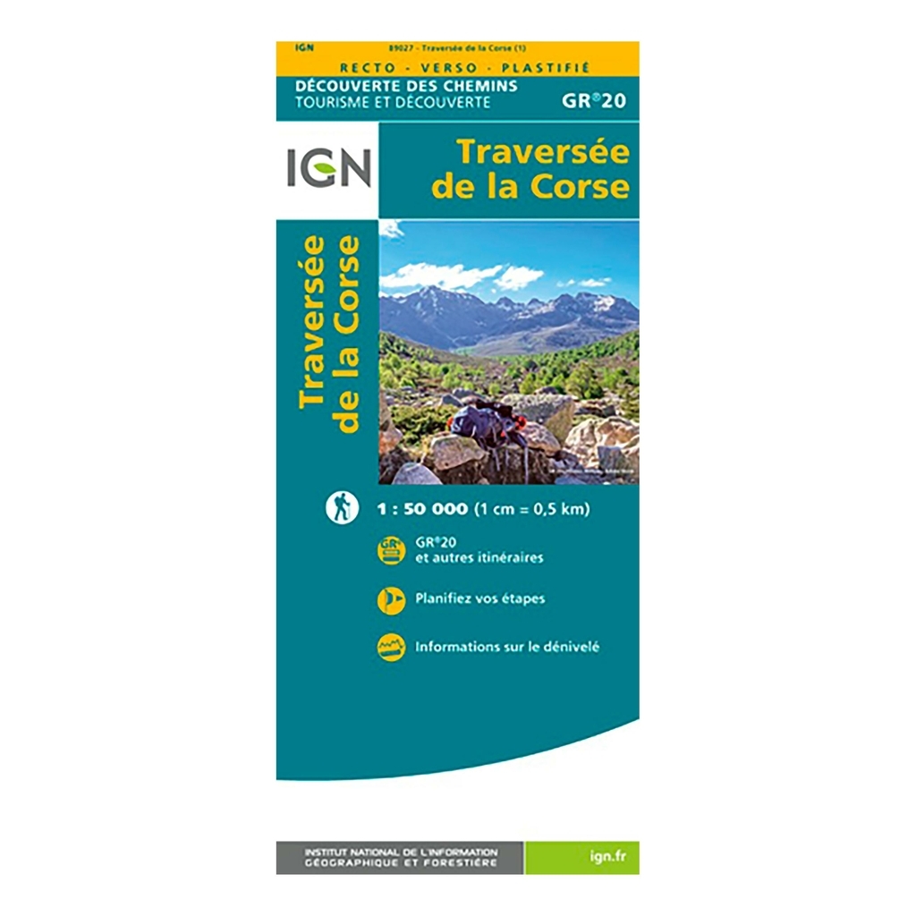
IGN Traversée de la Corse GR20 map - Scale 1:50,000 The IGN Traversée de la Corse map, ideal for hiking, allows you to find your way around easily and precisely during your outings in the region. Very precise, it is a precious help in planning your stages thanks to its relevant information: you will know where it is possible to eat, sleep and the points of interest to see. The representation of the relief by level curves allows you to have an idea of the difference in height to come, in order to allow you to draw routes adapted to your desires. An essential card for sports enthusiasts and tourists! Laminated, the IGN map is also resistant, so you can take it everywhere with you without risk of tearing it.


 France
Français
France
Français
 Belgique
Français
Belgique
Français
 Deutschland
Deutsch
Deutschland
Deutsch
 España
Español
España
Español
 Italia
no
Italia
Italiano
 Portugal
Português
Portugal
Português
 Nederlands
Nederlands
Nederlands
 Schweiz
Deutsch
Schweiz
Deutsch
 Luxembourg
Français
Luxembourg
Français

The information below is required for social login
Sign In
Or
Create New Account
Or
Your data is processed and collected by Lepape, which acts as the data controller, in accordance with the French Data Protection Act and the RGPD. For more information on the processing of your personal data, you can consult our Privacy policy.