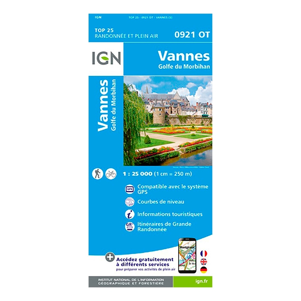
IGN Top 25 Vannes / Gulf of Morbihan hiking map - Scale 1:25,000 The IGN Top 25 Vannes / Gulf of Morbihan hiking map, ideal for hiking, will allow you to find your way easily and precisely during your outings in the region . Very precise, it highlights all the existing details on the ground: communication routes to the smallest path (marked or not), constructions, wood, isolated tree, river, source and tourist information. The representation of the relief by level curves allows you to have an idea of the difference in height to come, in order to allow you to draw routes adapted to your desires.
Scale: 1:25,000 (1cm = 250 meters on the map) Compatible with GPS system Contour line Tourist information Long-distance hiking routes (GR) Date of publication: February 2021 Dimensions: 96cm x 121cm
Municipalities covered : Vannes, Arzon, Gulf of Morbihan, Pluneret, Bono, Séné, Larmor-Baden, Baden, Plescop, Saint-Nolff, Ploeren, Theix-Noyalo, Plougoumelen, Saint-Avé, Arradon, Le Hézo, Saint-Armel, Ile-aux-Moines, Saint-Gildas-de-Rhuys, Sarzeau, Le Tour-du-Parc, Ile-d'Arz
Places to discover : Gulf of Morbihan, Bay of Quiberon, Île aux Moines, Pointe de Penvins, Pointe d'Arradon, Île d'Arz, Pointe de Kerpenhir, Nature reserve, Ramparts, Cairn du Petit Mont, Tumulus de César, Suscinio , Our Lady of Béquerel, Our Lady of Loc, Cairn of Gavrinis, Castle of Kerlévenan
| Product Name |
Cap Diffusion Top 25 - Vannes / Golfe du Morbihan Blue |
| Original Product Name |
Top 25 - Vannes / Golfe du Morbihan |
| SKU |
921OT |
| Gender |
Mixed |
| Bar code |
9782758551362 |
| Brand |
Cap Diffusion |
| Color |
Blue |


 France
Français
France
Français
 Belgique
Français
Belgique
Français
 Deutschland
Deutsch
Deutschland
Deutsch
 España
Español
España
Español
 Italia
no
Italia
Italiano
 Portugal
Português
Portugal
Português
 Nederlands
Nederlands
Nederlands
 Schweiz
Deutsch
Schweiz
Deutsch
 Luxembourg
Français
Luxembourg
Français

The information below is required for social login
Sign In
Or
Create New Account
Or
Your data is processed and collected by Lepape, which acts as the data controller, in accordance with the French Data Protection Act and the RGPD. For more information on the processing of your personal data, you can consult our Privacy policy.