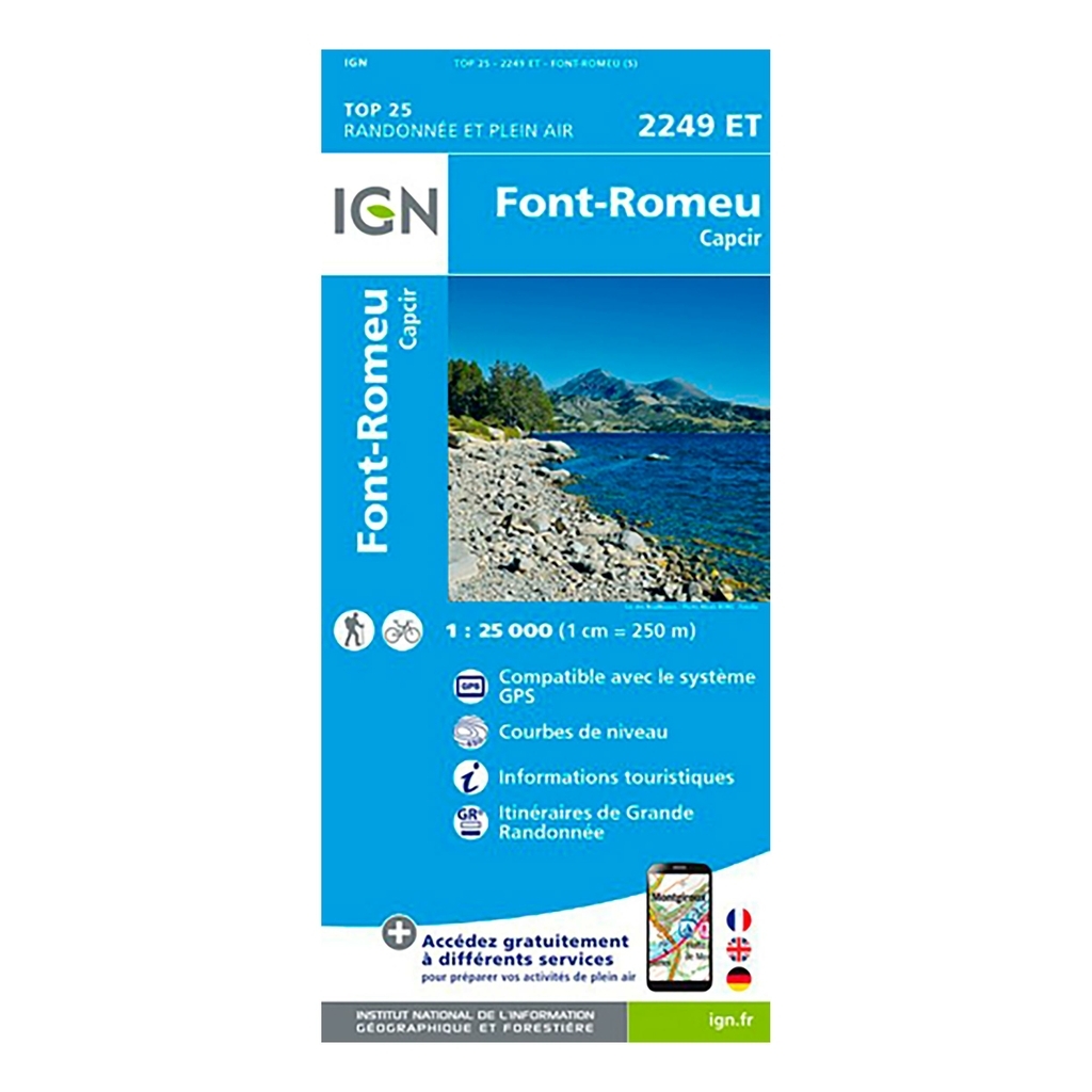
Scale: 1:25,000 (1cm = 250 meters on the map) Compatible with GPS system Contour line Tourist information Long-distance hiking routes (GR) Date of publication: February 2018 Size: 96cm x 132cm
Municipalities covered : Mont-Louis, Font-Romeu-Odeillo-Via, La Cabanasse, Targassonne, Canaveilles, Caudiès-de-Conflent, Sansa, Formiguères, Les Angles, Artigues, Égat, Sauto, Quérigut, La Llagonne, Ayguatebia-Talau, Fontrabiouse, Bolquère, Matemale, Nohèdes, Thuès-Entre-Valls
Places to discover : Catalan Pyrenees Regional Nature Park, Estany de Lanós, Bouillouses Lake, Naguille Pond, Bolquère Municipal Forest, Camporells State Forest, La Calma State Forest, Barrès State Forest, Conflent State Forest, State Forest des Ares, Madres, Pic de la Creu, Defile des Graüs, Pic de la Tribuna, Puig del Pam, Gorges de la Carança, Mont Llaret, Pic dels Moros, Puig de la Cometa of Spain, Lloumet, el Tossal Colomer, Col de Jau, Coll de Terrers, Puig Peric, Col de Sansa, Puig de la, Refuge d'en Beys, Chalet Refuge des Bouillouses, Refuge de Camporells, Refuge de Caillou, Nature Reserve of Jujols, Chaos de Targassonne, Nature Reserve of Nohèdes , Pont Gisclard


 France
Français
France
Français
 Belgique
Français
Belgique
Français
 Deutschland
Deutsch
Deutschland
Deutsch
 España
Español
España
Español
 Italia
no
Italia
Italiano
 Portugal
Português
Portugal
Português
 Nederlands
Nederlands
Nederlands
 Schweiz
Deutsch
Schweiz
Deutsch
 Luxembourg
Français
Luxembourg
Français

The information below is required for social login
Sign In
Or
Create New Account
Or
Your data is processed and collected by Lepape, which acts as the data controller, in accordance with the French Data Protection Act and the RGPD. For more information on the processing of your personal data, you can consult our Privacy policy.